Please see the Q&A page for more information!


Ryan & Michelle
Ryan & Michelle
Directions
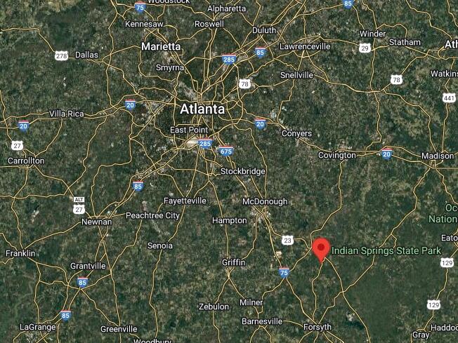
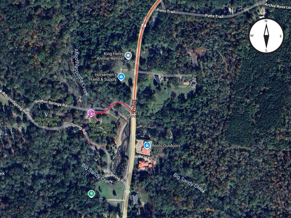
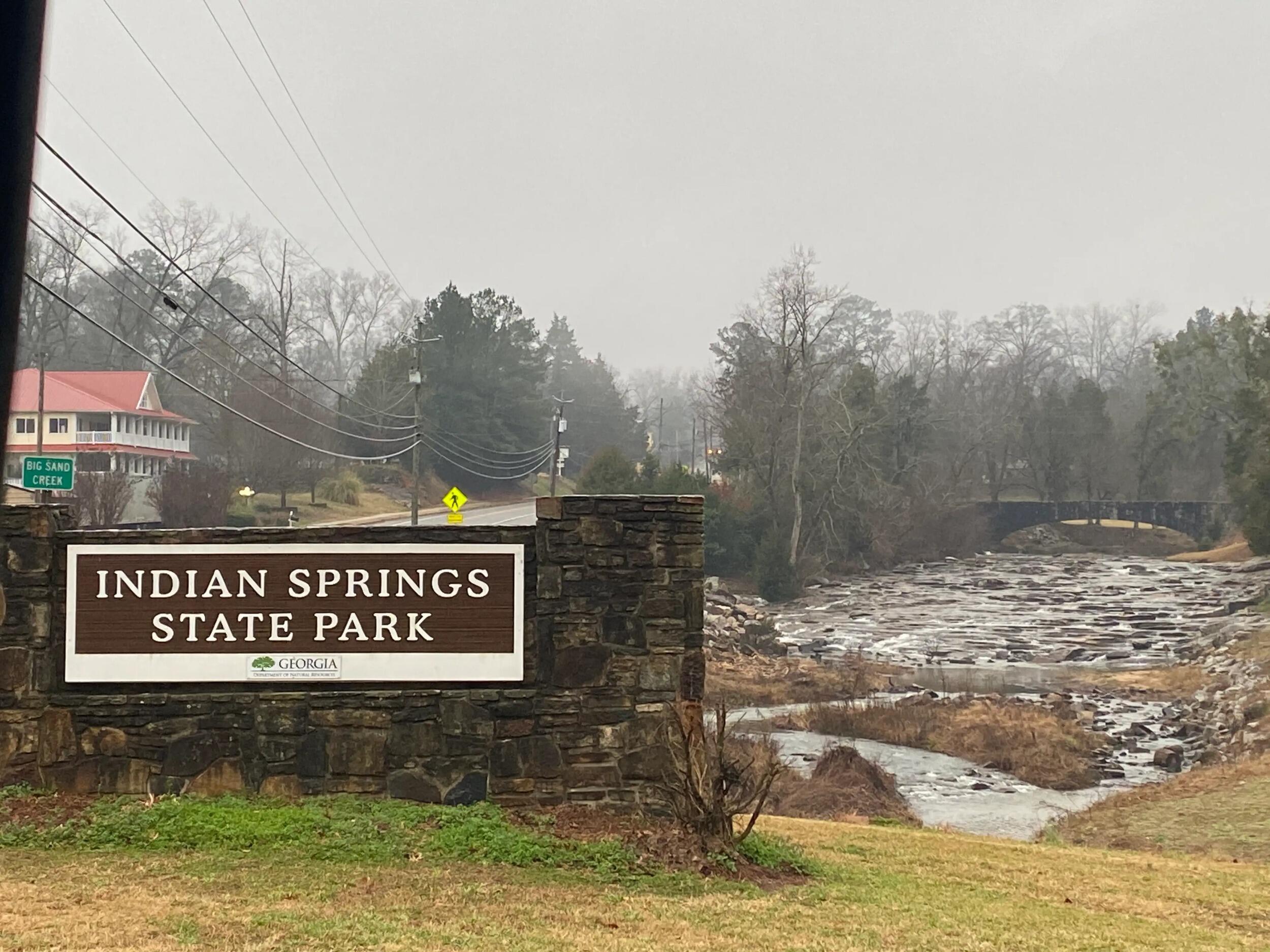
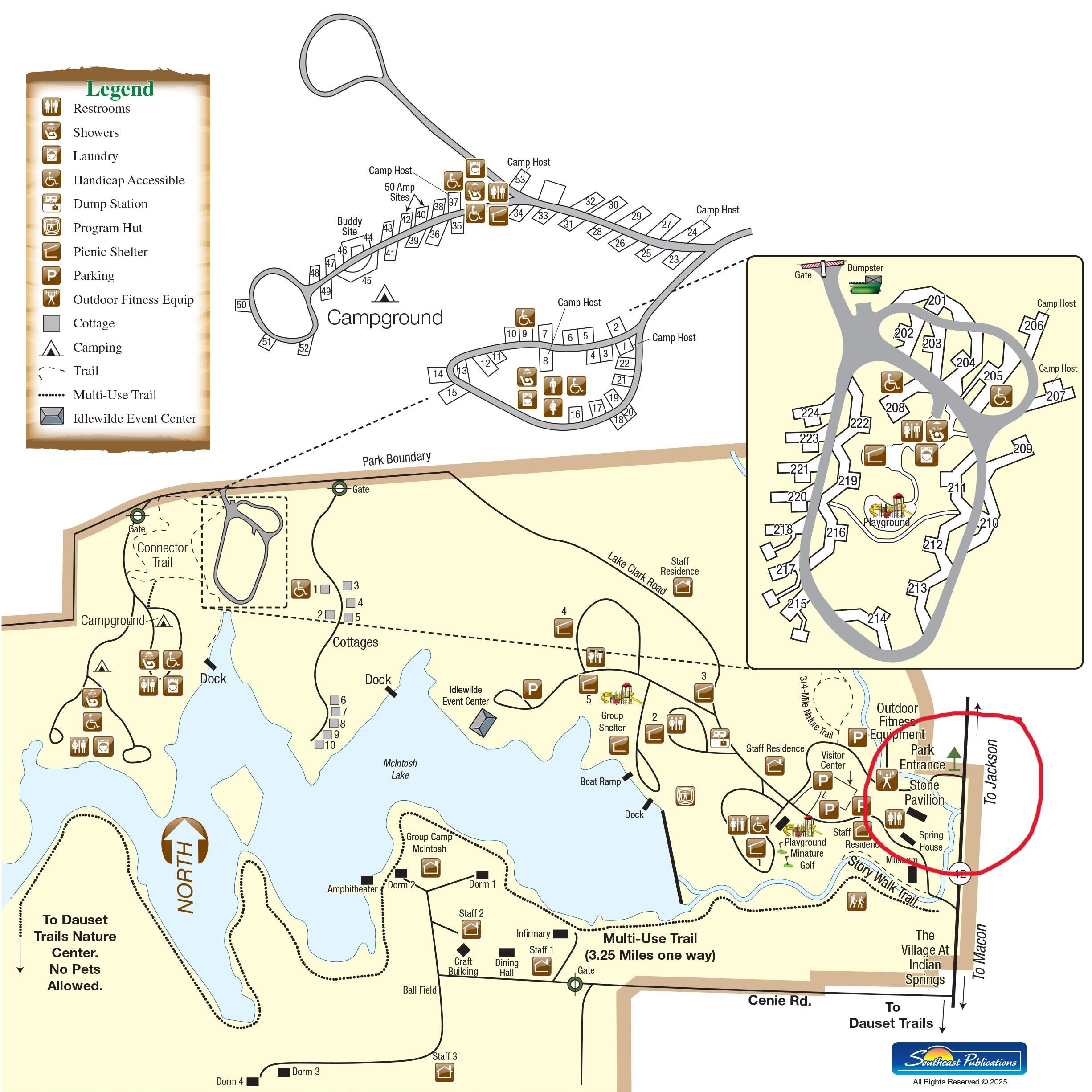
Here are some common directions to get to Indian Springs State Park in Flovilla, GA depending on where you’re coming from.
Basic Info:
Address: 678 Lake Clark Road, Flovilla, GA 30216
GPS Coordinates: N 33.247433, W -83.923450
From I-75 South
If you’re on I-75 southbound, take Exit 201 (toward Jackson/Griffin). Continue left on GA-36 for 3.1 miles. Take a right onto High Falls Rd. After 2.5mi, take a left onto Mt. Vernon Church Rd. Another 4.5 miles and you'll turn left onto GA-42 N. Then about .9 miles after that you should see the sign for Indian Springs State Park. You will want to take the entrance that is on your left AFTER the red roof buildings on the right.
From I-75 North
If you’re on I-75 northbound, take Exit 188 (Forsyth/GA-42). Then head north on GA-42 for ~15 miles to the park. You should see the sign for Indian Springs State Park. You will want to take the entrance that is on your left AFTER the red roof buildings on the right.